


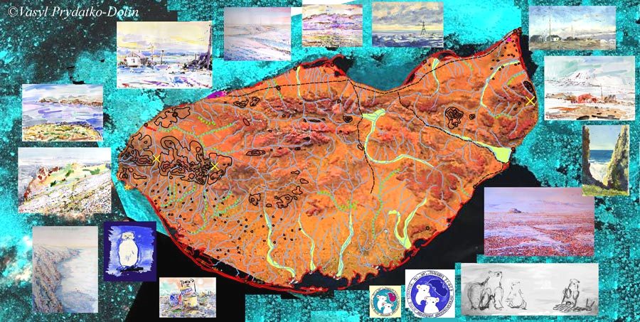
 BioModel will serve initiatively the Wrangel Island GIS. There is the new category ‘GIS-data’ at ArcArt web.
GIS and maps are also the arts! It would be based on a pilot-GIS ‘The Western Arctic Islands’, which the BioModel author has been developing in 2007 . Other new prospectives will include new demonstration of GLM-scenarios of habitat changes of some species – TBD initiatively by the BioModel. Note: a common GIS-scenario of historical changes of Polar Bear was presented earlier by BioModel (see site map).
Categories: General

0 Comments